|
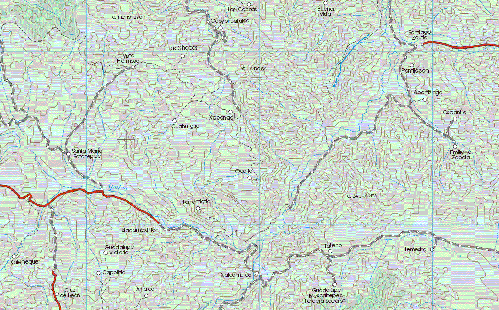
Puebla, Mexico map, N.E. Section 4/16
The map also shows the towns (pueblos) of:
Las Canoas, Buena Vista, Santiago Zautla, Ocoyohualulco, Las Chapas, Pantijacan, Apantzingo, Emiliano Zapata, Las Chapas, Vista Hermosa, Cuahuigtic, Santa Maria Sotoltepec.
Back to the main Tlaxcala, Mexico map
Tlaxcala map, Tlaxcala maps, Tlaxcala, Tlaxcala mexico, map of Tlaxcala, mapa de estado, where is Tlaxcala?, mapas de Tlaxcala, mapa de Tlaxcala, Tlaxcala mexico, map of Tlaxcala, maps of Tlaxcala, mexico Tlaxcala, Tlaxcala state, Tlaxcala tourism, Tlaxcala vacation, Tlaxcala vacations, Tlaxcala travel, Tlaxcala mexico, Tlaxcala
|